Top 10 Free Things to do in Sogn og Fjordane, Western Norway
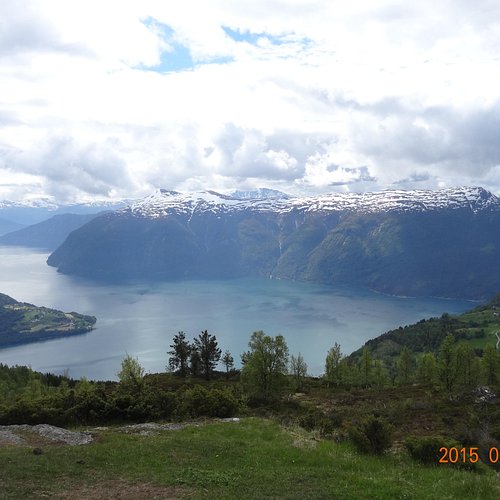
Rich in mountains, islands, glaciers, farmlands and fjords, Sogn og Fjordane is best known for Sognefjord, the longest in Norway and the second-longest in the world. One of its arms, Nærøyfjord, is a UNESCO World Heritage Site, as is the 12th-century Urnes Stave Church near Lustrafjorden, an excellent example of traditional Scandinavian wooden architecture. Jostedalsbreen, the largest glacier on mainland Europe, is home to a national park with several museums and visitor centers.
Restaurants in Sogn og Fjordane
1. Hornelen
Overall Ratings
5.0 based on 21 reviews
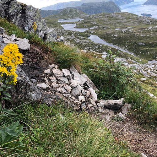
Visit Bremanger and hike northern Europe's highest sea cliff! The hike will give you a spectacular hiking experience. The trail is quite challenging and steep, but gives you fantastic views all along the way to the top. On the top you can enjoy a breathtaking panoramic view! You will get a great overview of the varied and scenic landscape in FjordKysten - narrow deep fjords, majestic mountains and small islands far out at sea. If you dare to, you can lie down on the edge of the cliff and look straight down on the sea 860 meters below you. You will never forget this hike, it is one of a kind! The trail is steep and challenging and this hike is suitable for experienced hikers. You should be used to walking in the mountains and in the terrain. Hiking to Hornelen is a full day trip, but it is worth the effort you put in. The view is spectacular! Season: Spring, summer and early autumn. May - September. You should not hike to Hornelen if there is snow on the mountain. You should also plan your trip well to make sure you hike in daylight. Tour description There are several trail going to Hornelen, here you will find the description of two of them. You can either start from Hunskar or Berleneset. You will get the best view if you start from Hunskar and descend to Berleneset. The duration of the hike is approximately 8 -10 hrs. and is a full day trips. It is a challenging trip and hikers should be experienced. Start Hunskar: Duration: 7-8 hrs Altitude: 860 Above sea level Start at the end of the road at Hunskar. The trail is sign posted with red T’s and stones. Go in the same direction as the road, over the Ramarhammaren, then you make a turn towards southwest. The first part of the trail can be a bit moist, but after a while the trail will be dry. The trail up towards 500 meters above sea level is steep walking on grass and moors. You will have a great view to Skatestraumen, Rugsund and Maloy. Further up you will reach a lake where you might stop for a longer break and enjoy some of your lunch. Further there is a part of the trail which is characterized by more rocky terrain. The last part is as steep, a small hill and then steeper again before you reach the top. You will find water all along the way to the top. You will spend approximately 4 hrs hiking to the top. When you reach the top you can enjoy the most fantastic view, and it will be worth the effort. There is a small stone cabin at the top where you will find the Norwegian flag that you can set up if you want to. For a less steep descent with a slightly different view, you can descend to Berleneset. The descent to Berleneset starts off on the same trail as the one you came up, further down the trail divides in two and you should go southwest.. The trail ends at the eastern side of Berlepollen. Start: Berleneset: Duration: 8-10 hrs. This route is a bit longer than the one from Hunskar, however easier to hike. This is a trail that is suitable for a long hike for the entire familiy. However hiking experience is necessary. The hike will give you a fantastic nature experience with a great view! You start out from Lisete at Berleneset. The trail is quite steep in the beginning, but gets flatter after a while. The trail is in good condition and sign marked. On the last part of the trail you will meet the trail from Hunskar. Guiding Please contact Kalvag Tourist office for information if you have enquires regarding guiding to Hornelen. Keipen turlag offers trips to Hornelen from Hunskar.
2. Raudmelen
Overall Ratings
5.0 based on 35 reviews
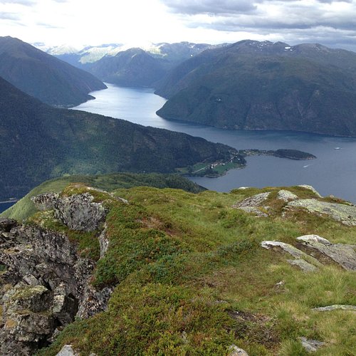
Raudmelen (972m) Raudmelen is a mountain which towers 972m over the centre of Balestrand. A hiking trail goes up the mountainside from Balestrand to the top of Raudmelen. This is a demanding hike. From the top you have fantastic views over the Sognefjord, both out towards Stolsheimen and in towards Fjaerland and Leikanger. Start: Start by Belehalli sports hall, at the same place as the starting point for the nature trail. Take the red route to Raudmelen. The first part goes along the marked nature trail, but soon turns off upwards. After following the relatively steep path up through the woods it is nice to take a break at Orrabenken (370m) where you get a wonderful view over Balestrand centre and the Sognefjord. From Orrabenken follow the path on upwards. The blue route turns off towards Balastolen and Fjaerestedstolen and the red route continues up towards Raudmelen. At Burasi (575m), another fine resting place, you get a marvellous view over Sognefjord and Esefjella. The path goes on up and along the ridge towards the top with wonderful views on both sides. On one side you see down over the green slopes to Balestrand and on the other dramatic rocky mountainsides towards Esedalen. At the top you are rewarded with fantastic views over the Sognefjord. This is a demanding hike and takes approx. 6 hours. Good advice: Get a map from the tourist office. Be sure to take plenty of water as there is no drinking water on this route. Getting there: From Balestrand quay/tourist office walk up Laerergata and on to Kreklingevegen until you get to Belehalli sports hall. The roads are signposted with white nature trail signs. To reach Balestrand take the express bus from Oslo, Bergen or Trondheim or express boat from Bergen. If you come by car from Oslo take the E16 and route 55. From Bergen or Trondheim take the E39 and route 55.
3. Aurlandsfjellet National Tourist Route
Overall Ratings
5.0 based on 181 reviews
Reviewed By JJ_World_travler
Highly recommend taking this route instead of the worlds longest tunnel. Raw nature, sheep, small “ice bergs”, lakes, rivers, snow, raw rock and breath taking views - basically what you would expect going over the mountain. Would love to take my bike on this route some time as well - bring warm cloth ;)
4. Molden
Overall Ratings
5.0 based on 54 reviews
Reviewed By Arcticozzie - Perth, Australia
Although we didn’t climb Molden in January, we drove past it daily as we were staying on Mollandsmarki road. You might need chains on your car depending on weather...we wouldn’t of gotten up the road without them.
5. Lovatnet Lake
Overall Ratings
5.0 based on 89 reviews
Reviewed By Dalle1985 - Esbjerg, Denmark
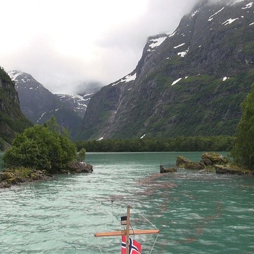
The drive up this valley is absolutely breathtaking! One of the most beautiful drives we have taken in an already stunning country! Beware though, the road is narrow and not everyone understands that everyone needs to give space to each others! Lots of good hiking opportunities are also available through the valley.
6. Gaularfjellet
Overall Ratings
5.0 based on 27 reviews
Reviewed By garyrU7172XN - Melbourne, Australia
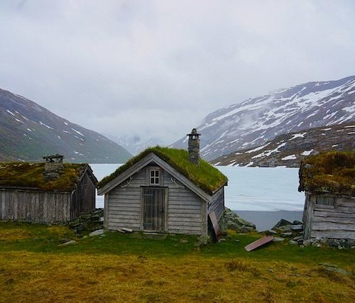
We drove through here in late May and typical of Norway the scenery is stunning. Snow covered mountains, partially frozen lakes and postcard perfect panoramic views.
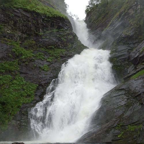
7. Huldefossen Waterfall
8. Olden
Overall Ratings
4.5 based on 360 reviews
Reviewed By ca2nova
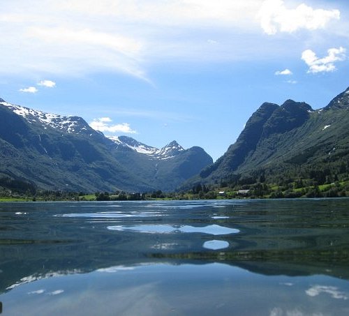
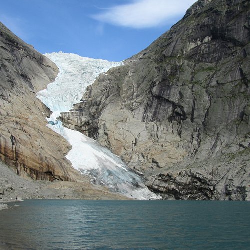
Olden was our most scenic stop on a recent cruise. Sailing up Nordfjord is stunning with the mountains and beautifully coloured water. The village of Olden is cute with a bit of shopping for those inclined as well as a nice place to walk around. The old church in the middle of town is worth popping in to see the interior. We chose an excursion up to see Briksdal Glacier - an excellent choice. It included a scenic bus ride followed by a stimulating hike with beautiful views along the way.
9. Briksdal Glacier (Briksdalbreen)
Overall Ratings
4.5 based on 970 reviews
Reviewed By watermelon1306
Visited Olden and Briksdal in June and it is definitely worth the visit and it exceeded all my exceptions. As you take the tranquil 45 minute walk to the glacier you are surrounded by breathtaking snow capped mountains, lush green spots of grass and mountain flowers and flowing waterfalls which you can stand beside and soak up its spray of water. However, if walking isn't your thing or you are unable to, you can take a troll car up the winding paths to the glacier although if you are able to make the trek it is 100% worth it.
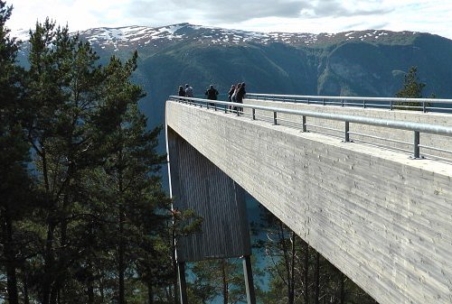
10. Stegastein Lookout
Overall Ratings
4.5 based on 695 reviews
Reviewed By Resort757996
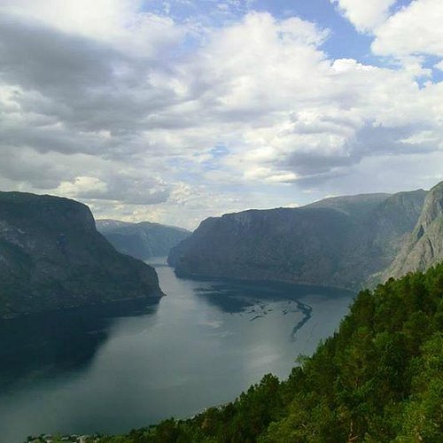
Fantastic. If you stay in Aurland you should definitely drive the amazing narrow road up to Stegastein. Coming up, the view is amazing and scary???????????? Enjoy if you like heights????

