Things to do in Imotski, Dalmatia: The Best Nature & Parks
Imotski (pronounced [ǐmɔtskiː]; Italian: Imoschi; Latin: Emotha, later Imota) is a small town situated on the northern side of Biokovo massif, Dalmatian Hinterland, Croatia. As of 2011, the town population is 4,757 and the total municipal population is 10,764. Imotski has a very mild and pleasant climate with many sunny days.
Restaurants in Imotski
1. Prolozac Swamp
Overall Ratings
5.0 based on 2 reviews
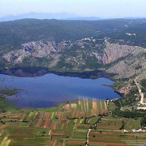
This is one of the few remaining flood karst fields in Croatia. It is located at the north-eastern edge of the Imotski field. A flood area is formed during the high-water season, when Prolosko Lake is filled and flowing over its southern edge. In the swamp there is the Islet of Manastir with remains of the Franciscan Monastery from 17th century.
2. Vrljika
Overall Ratings
5.0 based on 5 reviews
This underground river, flowing through Imotsko polje, is the home of some endangered and endemic species. It is also an ichtyological reserve. It has several major springs and the Green Cathedral, traditional location of celebrations of the Feast of the Assumption.
3. Imotski - Modro i Crveno Jezero - Central Dalmatia Croatia - Bike Tracks
Overall Ratings
5.0 based on 1 reviews
This circular asphalt route starts and finishes at the entrance of Modro lake. Enjoy the wonderful views over Modro anf Crveno lakes as you go uphill towards the road thet leads you towards Gornji Proložac, as well as the field of Imotski and Biokovo mountain.This bike track is 16,7 km long.
4. Blue Lake
Overall Ratings
4.5 based on 184 reviews
Reviewed By oldp2015
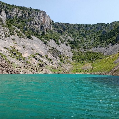
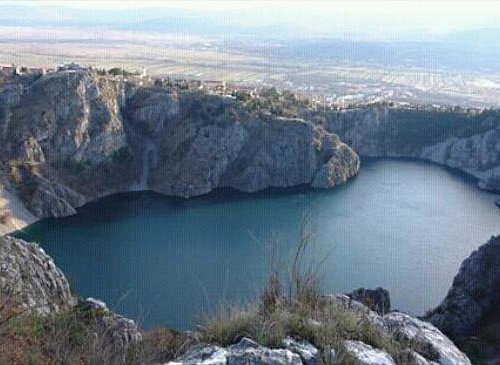
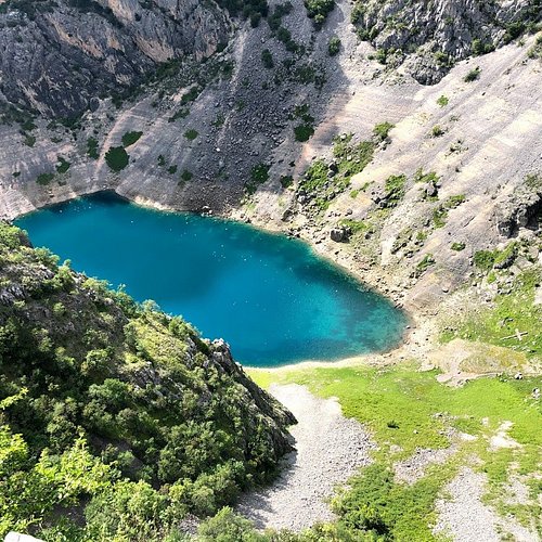
A beautiful lake in a deep karst sinkhole just next to the town centre. Visit it in the spring, when the water level is high and the temperature is pleasant for walking down the steep path to the water itself, and more importantly, back up.
5. Red Lake
Overall Ratings
4.5 based on 105 reviews
Reviewed By Tompalaja - Zagreb, Croatia
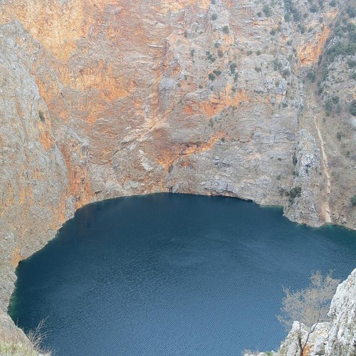
The lake was formed by the collapse of red rocks, it was named after the red rocks at the edge of the lake. Submarine measurements were made at a depth of 255 meters, which is the deepest lake in Europe
6. The Medieval tombstones of Lovrec Bike Tracks Censtral Dalmatia Croatia
This asphalt route start in Lokvičići. Take the road trough Proložac Donji towards Lovreć, going torugh Dolića Draga.After the village of Nikolići, the route merges with the state road DC60 and then turns eastwards. Continue by going off the state road into the settlement of Kljenovac and then to Lokvičići, and you'll end up where you started.
7. Imotski - Istocno polje - Central Dalmatia Croatia - Bike Tracks
This bike track is 20,8 km long.
8. Imotski - Studenci - Cista - Lovrec - Bike Tracks
This asphalt route starts in the centre of Zagvozd and takes you over Grabovac to Šestanovac.After Šestanovac, continue towards Žeževica and Lovreć and then further eastwards, taking a right turn towards Medov Dolac.Ide uphill towards Dobričani and the merge with the state road D76. It's all downhill now until you get to your starting point - Zagvozd.This track is 44,8 km long.
9. Above the Blue Lake bike tracks Central Dalmatia Croatia
It starts in the town centre. Once You get back on asphalt, climb above the Red lake and pass the school in the area of Brlog in Gornji Proložac.Go across the cluster of mills Perinuša on a macadam road, which turns into an asphalt on at some point ridind uphill trough Glavina Donja along the longest street of the city to get back to the starting point.
10. Zmijavci - Slivno - Poljica - Central Dalmatia Croatia - Bike Tracks
This challenging aspalth route starts in Zmijavci- Đogića brana and continue to Runovići. Ride uphill for about 6 km over Sebišine towards Velim hill, and then go down towards Slivno.What follows is a gentle climb for about 8 km over Krstatice until the route merges with the state road D76. Ride northeastwards and go over Poljica to make a full circle and return to Grubine again.

