The 10 Best Nature & Parks in Alesund, Western Norway
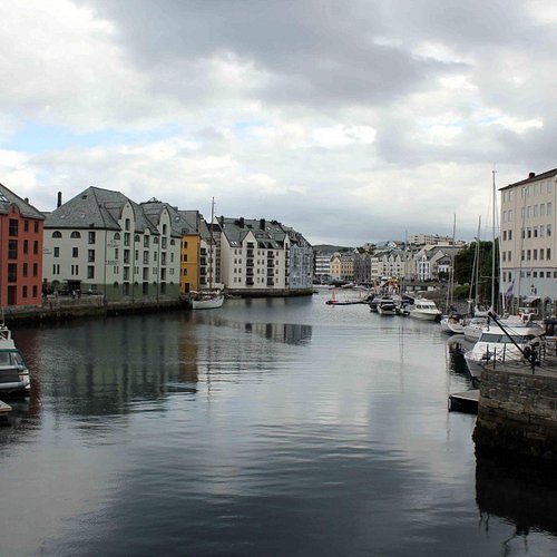
Perched at the top of Norway’s Western Fjord country, picture-perfect Alesund is spread over several islands stretching into the Atlantic, with the spectacular Sunnmøre Mountains as a backdrop. If its natural beauty doesn’t grab you, its architecture surely will: After an early 20th-century fire destroyed much of the town, Alesund was rebuilt in absolute Art Nouveau (Jugendstil) glory. Learn the history at Aalesunds Museum, or visit one of the world’s largest aquariums, the Atlanterhavsparken.
Restaurants in Alesund
1. Hike to Skarasalen
Overall Ratings
5.0 based on 4 reviews
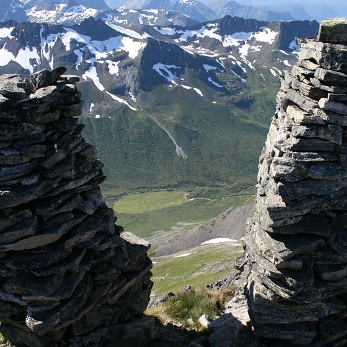
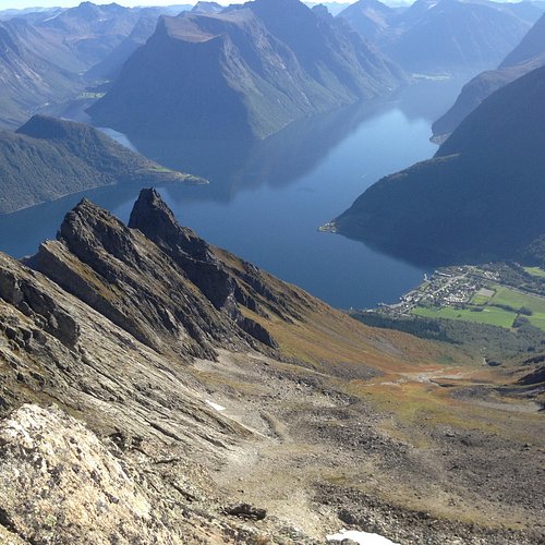
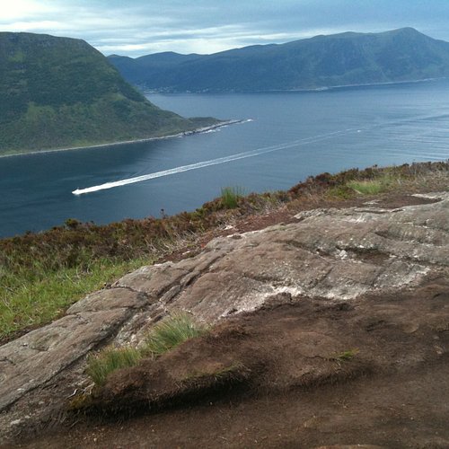
The tour up to Skarasalen offers one of the most majestic views over the Sunnmore Alps and the Hjorundfjord. Season End of Jun-Sept. Duration 4-5 hours. Distance and total height gain: 3,379 ft. 3-4 km. Access Bus or car in the direction of Saebo. Follow RV 655 from orsta through Bondalen towards Saebo. At Kvistad (approx 3 km from Saebo) turn off towards Kvistadsaetra along Kvistaddalen. Worth noting It is recommended that you make an early start on hot days.
2. Hike to Dalegubben
Overall Ratings
5.0 based on 1 reviews
3. Slogen
Overall Ratings
5.0 based on 26 reviews
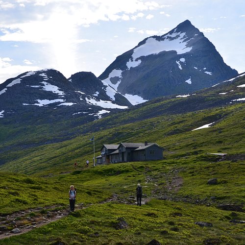
Slogen is arguably the finest summit in the Sunnmore Alps and the view is impressive! From the fjord a triangular pyramid-like feature rises straight up. Patchellhytta cabin lies at the foot of Slogen and is popular day tour objective in itself, but it is also a good starting point for ascents of Slogen, as well as Brekketind (5,833 ft) and Smorskredstind (5,351 ft). There are several alternative routes to Patchellhytta, and onwards to Slogen, either from oye, Engeset or Urke. Season Jun - Sept Duration From oye: 4-5 hours, Urke: 5 hours and Patchellhytta: 2-3 hours. Distance and total height gain: From oye: 3 km. 4,921 ft. From Patchellhytta: 3 km. 2,460 ft. From Urke: 3,937 ft. 8 km. Access Bus/car to oye or Stranda/Engeset. Hjorundfjord Cruise , see p. 31. Worth noting: You are strongly advised not to use the snow fields on the way down unless you have an ice axe and know how to brake with it. This practice leads to several serious accidents every year.
4. Storhaugen
5. Hike to Skopphornet
Overall Ratings
5.0 based on 1 reviews
The mountaintop distinguishes itself from the peaks in the area by its dominating, wide, flat shape. Season May-Oct. Duration 3 hours. Distance and total height gain: 4.6 km. 3,379 ft. Access Bus or car to Sykkylven via RV 60. Take the bridge over to Ikornes, turn left and south towards Erstad or right and north towards Hundeidvik.
6. Hatlaasen and Lerstadnakken
Overall Ratings
4.5 based on 2 reviews
7. Hike to Lauparen
Overall Ratings
4.5 based on 2 reviews
This is one of the classics that every local visits at one time or another - you gain an amazing view over the surrounding peaks! Season May-Sept. Duration Approx 4 hours. Distance and total height gain: 6 km. 3,379 ft. Access Bus is a possibility, but from the E39 it is 5 km longer if you do not have your own car. Drive to Vaksvik and take the road to the mountain from there. Worth noting Snow may still lie in the gulley towards the summit in the early part of the summer. If so, an ice axe will be extremely useful.
8. Hike Sukkertoppen the Sugar Top
Overall Ratings
4.5 based on 142 reviews
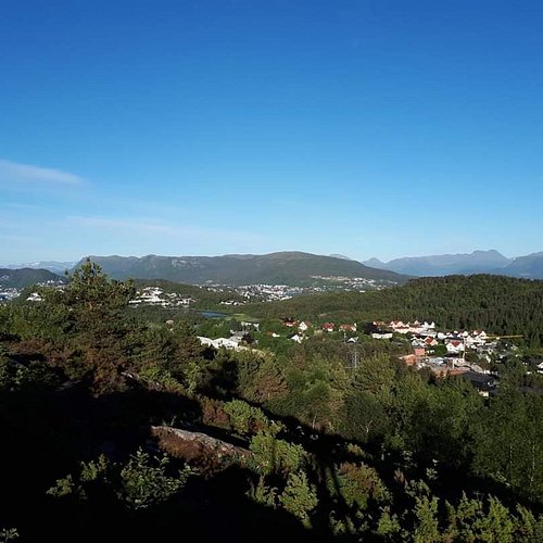
From Sukkertoppen (The Sugar Top), you can get a magnificent view with both city, coast and fjord in one! From the centre of alesund you can drive, bicycle or take the local bus to Hessa and eventually park at the primary school, just west of the roundabout in Hessaskaret. Cross the road above the school and follow the Sukkertoppvegen westwards until you find the sign where the path starts, at the right by number 22. The path is gravelled in the beginning, passes a grove and the path is clearly visible (but might be wet and dirty) all the way to the top. You are past half the way when passing the transmitter mast. An unforgettable view expects you!
9. Borgernes veg and Aksla Stadion
Overall Ratings
4.5 based on 124 reviews
Walking route with many possibilities you can take in the panoramic view from Fjellstua and visit the restaurant and walk down the 418 steps from the vantage point to the town park! Season All year round. The route starts in Gangstovika, or possibly in alesund Town Park.
Reviewed By tftour
The path around Aksla on the left side from Byparken is really nice for both running and walking, and you’ll most likely have it for yourself. - One option is to take up to the right when you see the sign to the stadium, a really nice and steep path with man made stairs and well located seats with fantastic fiord views. (Such a great job by local neighbourhood groups <3) - Another path continues all the way to Gangstøvikvegen, and from an info map there you follow smaller paths up into the woods. In both occasions you’ll pass both the stadium and the radio tower on top, and you can go down the more touristic steps straight downtown.
10. Tueneset and Hessabana
Overall Ratings
4.5 based on 11 reviews

