The 10 Best Bodies of Water in Dalmatia, Croatia
^ Dalmatia is not an official subdivision of the Republic of Croatia; it constitutes a historical region only.
Restaurants in Dalmatia
1. Prolozac Swamp
Overall Ratings
5.0 based on 2 reviews
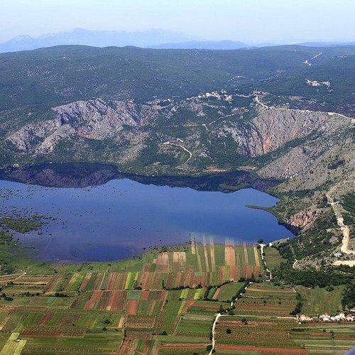
This is one of the few remaining flood karst fields in Croatia. It is located at the north-eastern edge of the Imotski field. A flood area is formed during the high-water season, when Prolosko Lake is filled and flowing over its southern edge. In the swamp there is the Islet of Manastir with remains of the Franciscan Monastery from 17th century.
2. Vrljika
Overall Ratings
5.0 based on 5 reviews
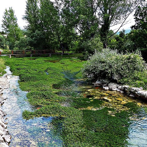
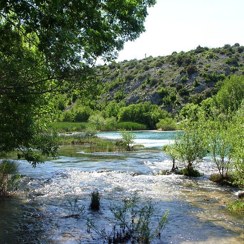
This underground river, flowing through Imotsko polje, is the home of some endangered and endemic species. It is also an ichtyological reserve. It has several major springs and the Green Cathedral, traditional location of celebrations of the Feast of the Assumption.
3. Source of the River Cetina
Overall Ratings
5.0 based on 16 reviews
Reviewed By kristina8d8r - Zagreb, Croatia
Little known natural attraction in the Dalmatian hinterland. In addition to nature, there are two beautiful churches, one of which is a Catholic from the 9th century with a recognizable Croatian plait, and above the spring is an Orthodox church. On the way to the source of Glavas is the church of St. Spasa, one of the most important monuments from the early Middle Ages. It has its roots in the ninth century, from Prince Branimir, and is an example of a building with a facade facing west. It looks mystical and a bit scary, because it is surrounded by a cemetery and hides many secrets and controversies that are still going on today. The source of the river Cetina, although it is more accurate to say the sources, because there are 11 of them, some of which spring only during heavy rains, is located in the village of the same name Cetina, a few kilometers from Vrlika. It is also known as Milaševo vrelo or Glavaševo jezero or vrelo Cetine, and its measured depth is about 130 m, although it is mentioned that a Spanish research team measured a depth of as much as 180 m. Cetina springs at an altitude of 385 meters, on the northwestern slopes of the Dinara We arrived late so the summer of the spring could not be experienced, but in the evening you can see the beautiful colors and crystal clear water around 8 degrees
4. St Juraj’s Inlet
Overall Ratings
5.0 based on 5 reviews
Reviewed By globtrottreuse - France, null
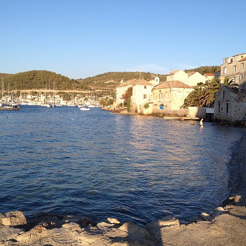
The St Juraj's Inlet is located on the northeast side of the island of Vis and is enclosed in the form of a ring by the islet Host, and by the peninsula of Prirovo that so naturally protects the town from the influence of the open sea.
5. Vrelo Une
6. Veliko Lake
Overall Ratings
5.0 based on 16 reviews
Reviewed By srcna_vena
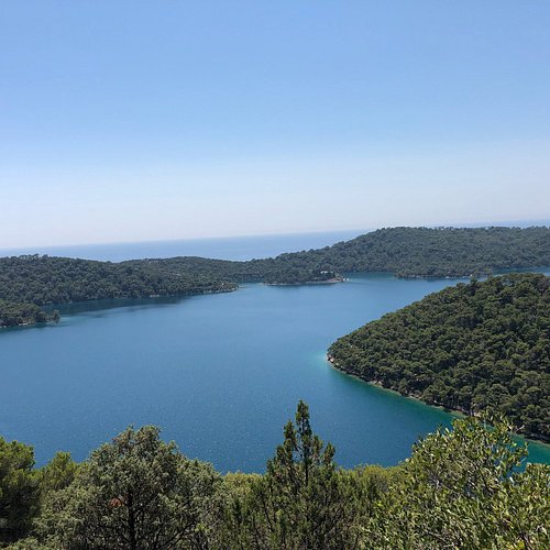
we went and rented bikes at Pomena and took a ride around the big lake - there is a afsphalt road that goes round the lake. you can cross from one side to the othe across a small brige. recommend also that you go to the Soline village.
7. Lake Peruca
Overall Ratings
5.0 based on 2 reviews
Lake Peruca is a reservoir on the River Cetina, 20 km long and 64 m deep, created after building a high dam near the Donji Bitelic village. Today, it is a popular destination for all types of water sports such as swimming and rowing.
8. Zrmanja
9. Blue Lake
Overall Ratings
4.5 based on 184 reviews
Reviewed By oldp2015
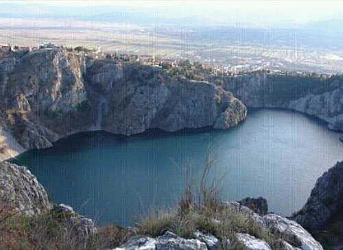
A beautiful lake in a deep karst sinkhole just next to the town centre. Visit it in the spring, when the water level is high and the temperature is pleasant for walking down the steep path to the water itself, and more importantly, back up.
10. Red Lake
Overall Ratings
4.5 based on 105 reviews
Reviewed By Tompalaja - Zagreb, Croatia
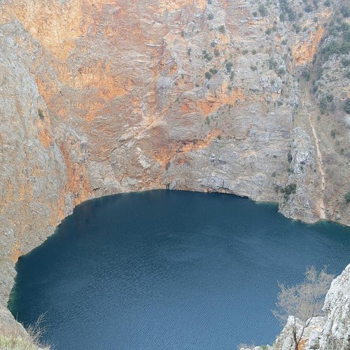
The lake was formed by the collapse of red rocks, it was named after the red rocks at the edge of the lake. Submarine measurements were made at a depth of 255 meters, which is the deepest lake in Europe

