10 Geologic Formations in Estonia That You Shouldn't Miss
– in Europe (green & grey)
– in the European Union (green) – [Legend]
Restaurants in Estonia
1. Vaike Munamagi Hill
Overall Ratings
5.0 based on 6 reviews
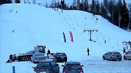
Climbing to the top of Munamagi Hill is worth the effort – the view covers more than 50 km. The absolute height of Vaike or Otepaa Munamagi Hill is 207.5 m (relative height exceeds 80 m). There is a spring on the north-eastern slope of Vaike Munamagi (in the direction of Otepaa) that has been considered the start of the Vaike Emajogi River for a long time. The boulder on the edge of the first plain is the biggest in the area – 250,000 kg.
2. Ohessaare Cliffs
Overall Ratings
5.0 based on 2 reviews
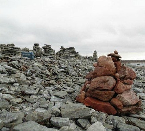
The limestone Ohessaare cliffs, on the western shores of the Sorve peninsula, are around 500 m long and up to 4 m high. They present the most extensive cross-section of young Silurian rock and sedimentary layers in Estonia. The cliffs are famous for the stone towers that people have erected here. Those who visit the site are encouraged to use the flat stones found on the beach to make their own unique contributions to the landscape. The rocks in the area also contain a lot of fossils.
3. Tagaranna Limestone Cliff
Overall Ratings
5.0 based on 5 reviews
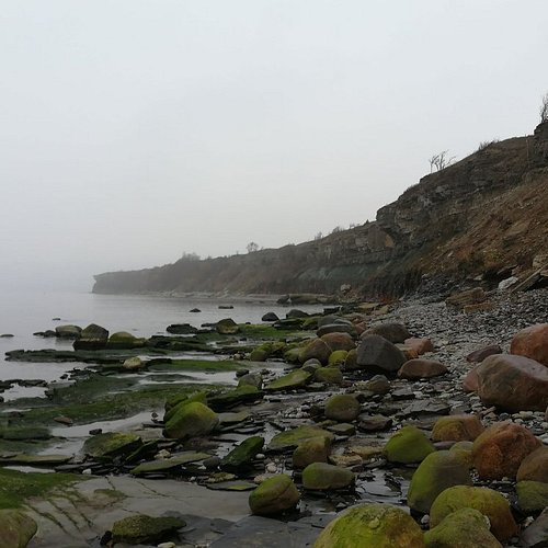
The limestone cliff is 1 km long, the highest point is 5.0 m. There is a second terrace on the Ninase limestone cliff of Jaagarahu dolomites, which is located inland, away from the water. On the cliff you'll find stones with holes the sea has carved, but also marks of fossils that stratified in the stones thousands of years ago. Useful information: A memorial stone to cruise ferry MS Estonia is on the cliff.
4. Harilaid
Overall Ratings
5.0 based on 8 reviews
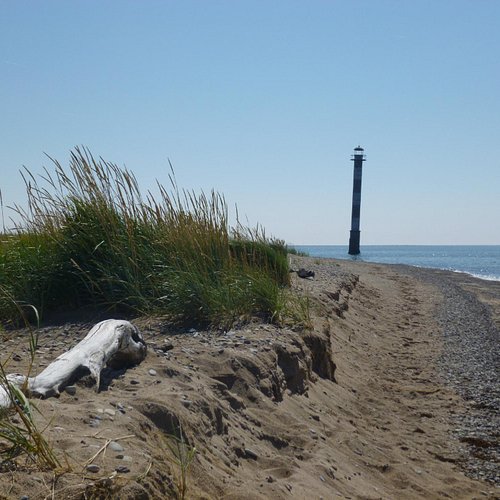
Harilaid has an infrequent, elongated trapeze shape with waved boundary lines, extending from South-East to North-West. It is a low plain, the highest point of which in the northeasterly part does not exceed 5 m. The area of the peninsula is 3.62 km². The most northeasterly point of Harilaid is named Kiipsaare and the opposite southeasterly point is Kelba. The Flora of the peninsula represents 261 species of flowering plants and vascular cryptogams. Interesting to know: Harilaid arose from the sea as an island 1000-2000 years ago. There is a lighthouse on the northeasterly point on Kiipsaare cape.
5. Kallaste outcrop
Overall Ratings
5.0 based on 1 reviews
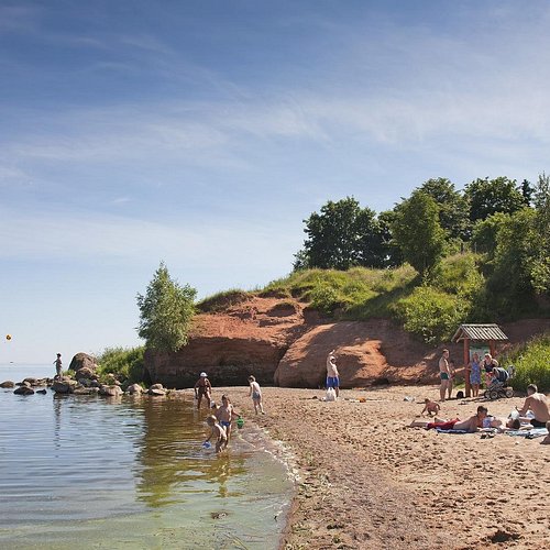
The longest Devon sandstone outcrop in Estonia is located in Kallaste - the measurements done in 2001 showed that it is about 930 metres long. The maximum height of the outcrop is 8 metres. Starting from the south side of the town and moving towards the central square, you can see 11 outcrops. When the water level rises during high waters, the waves chip away the outcrop, creating many caves in th
6. Sorve Cape
Overall Ratings
4.5 based on 11 reviews
The peninsula ends with the tip of Sorve, which is continued by a number of islets in the Irbe Strait. According to a legend, they were created by Great Toll. The hero was chasing the Devil out of the country and throwing stones after him. Heavier stones fell down sooner, lighter ones flew further. Good to know: Sorve peninsula was first mentioned in 1234. The peninsula has only 1600 inhabitants. The tip of Sorve is loved by birdwatchers.
Reviewed By Undass - Tallinn, Estonia
This is basically where I live (close to Sorve). When visit Saaremaa then Sorve is a place where you need to go! Best time to visit as a tourist is summer and when the weather is nice. Why? In the summertime there is a restaurant (no worries if you get hungry), there is a lighthouse what you can visit and other things are mostly open. Other season you can just go and see the beautiful sea. If you are a sunset enthusiast then it's a perfect place for that. Take your friends, family, girlfriend/boyfriend and enjoy the beauty!
7. Purekkari Cape
Overall Ratings
4.5 based on 7 reviews
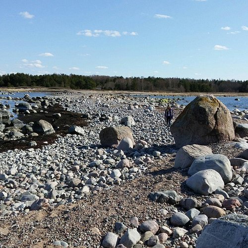
Purekkari Cape is the northernmost place of mainland Estonia. The cape is 1.5 km long, covered with rocks and boulders and located on the Parispea Peninsula in Lahemaa National park. There's a small island at the end of the cape, which can be reached only when the water level is low. Thorny Japanese rose bushes catch the eye during blooming and when the roses bear fruit in the autumn; then you can also see many migratory birds. Old military establishments and the RMK camping site are near the cape. The road to the parking ground is narrow and not accessible with a big bus.
8. Turisalu Clifftop
Overall Ratings
4.5 based on 20 reviews
9. Cape Pakri
10. Saaretirp Cape
Overall Ratings
4.5 based on 3 reviews
Reviewed By gozamite - Kirkkonummi, Finland
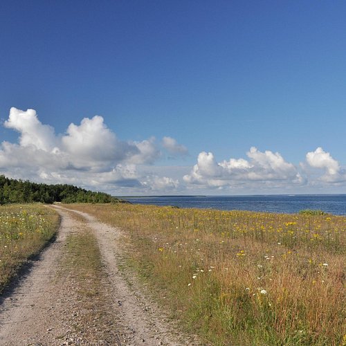
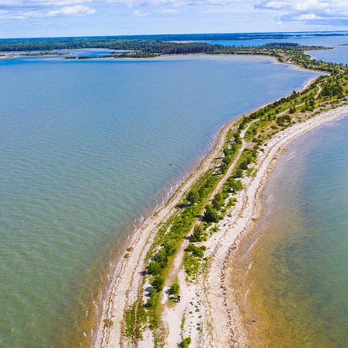
We left the bike on the parking area. The rain had enden few hours earlier and the sun was starting to shine. We started to walk to the end of the cape. The cape was getting more narrow all the time and soon we could see the sea on both sides. We were admiring the flowers and plants every now and then and we also saw the horses walking the along the seashore... I'm very sure they enjoyed their morning too. After 2 kilometers walk the trees ended and we stopped. I took a flight with my drone and got some pretty amazing pictures. I was also swimming... This is one of the most amazing places I've ever been!

